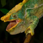
150 animals in 2016,
250 in 2017,
2018-2024 again 150 animals per year for legal export
First description:
Origin of the species name:
The palaeontologist Oskar Böttger, then curator of the Senckenberg Museum in Francfort (Germany) wrote the original description in 1880 – still in Latin, by the way. He named the species after Carl Ebenau. Carl Ebenau was the general agent of the German East African Society. Like Böttger, he originally came from Francfort and in the 1880s worked as a merchant for the sale of export goods in Madagascar.
Distribution:
This species lives in the north of Madagascar, where it populates different habitats. It can be found both in the rainforest of the Amber Mountain and in the much drier Montagne de Francais towards Antsiranana (Diego Suarez in French). The animals also live in the dry forest of Loky Manambato near Daraina, we have found them there as well as in the Montagne d’Ambre. With a lot of luck, one can also discover Brookesia ebenaui on the island Nosy Be, but only in the national park Lokobe, the last remaining forest of the island.
Appearance and size:
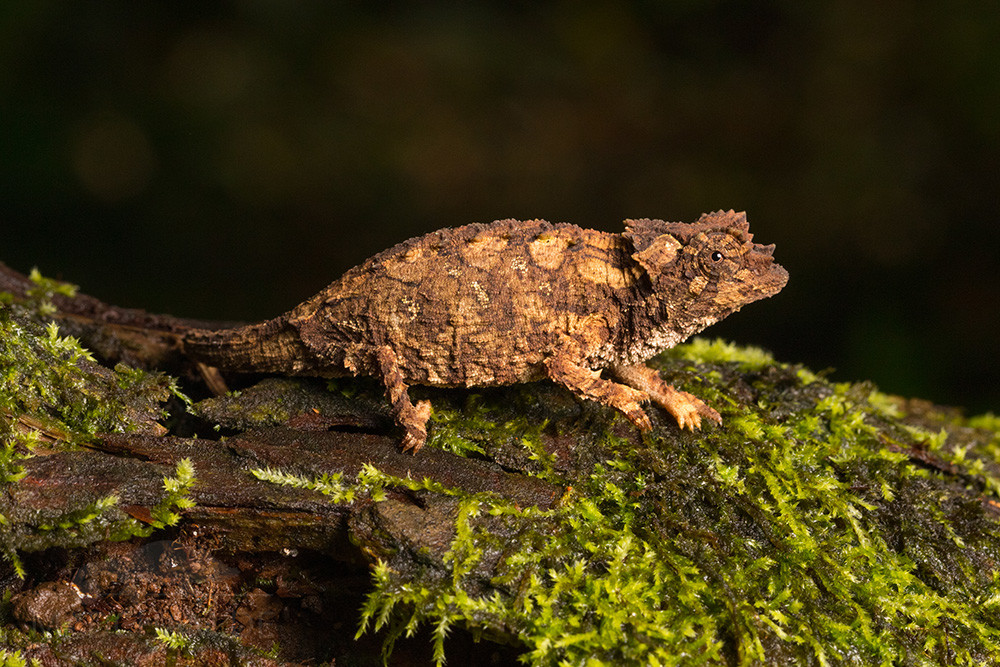
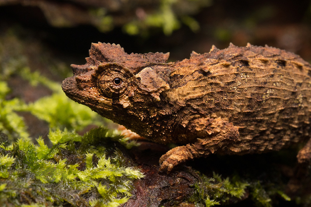
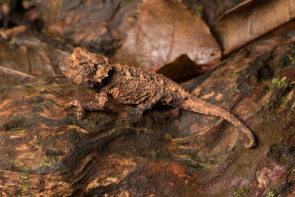
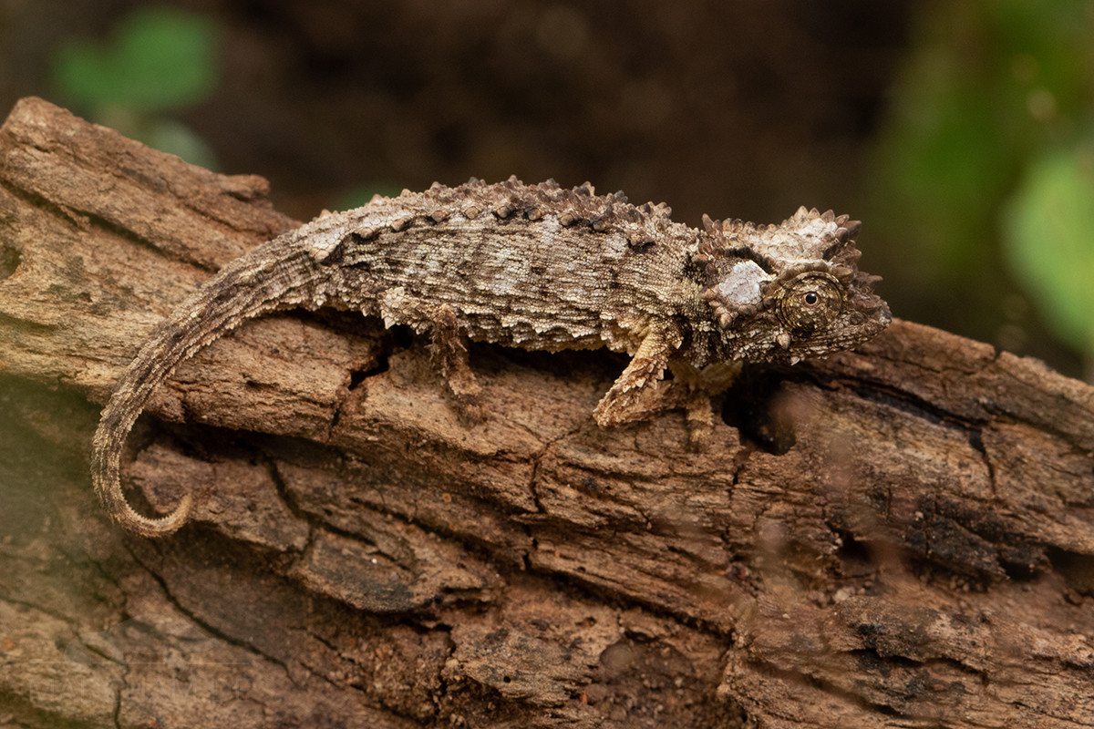
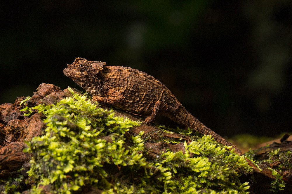
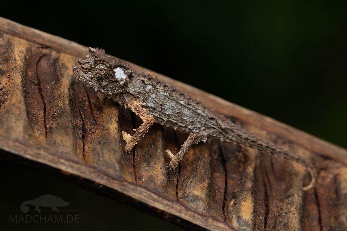
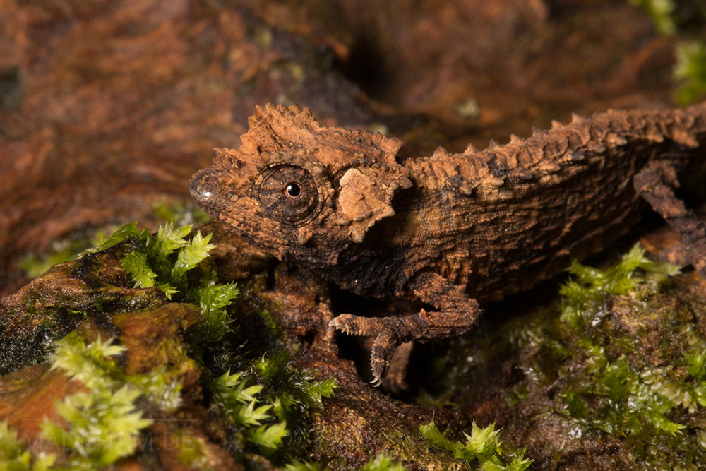
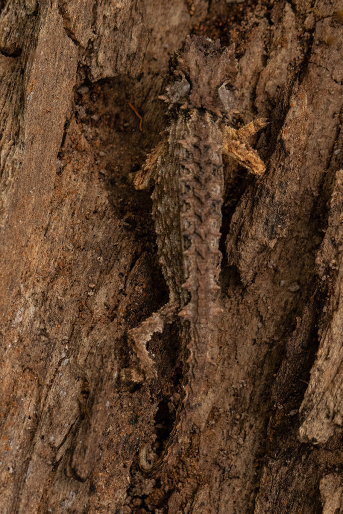
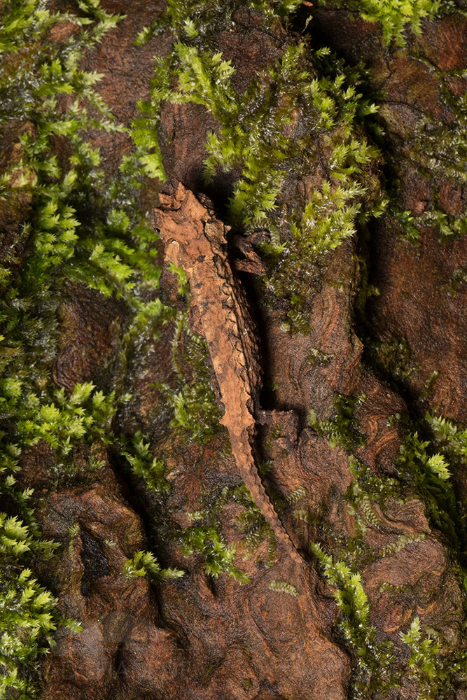
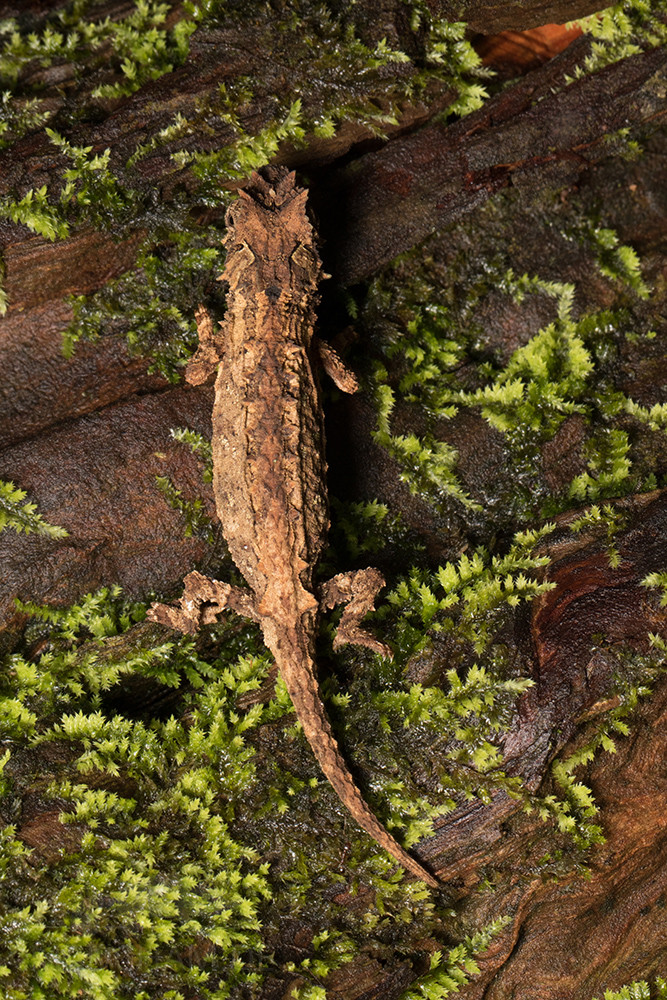
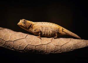
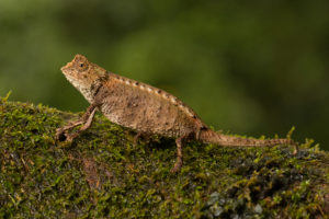
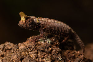
Brookesia ebenaui grows to a maximum length of 7 cm from the nose to the tip of the tail. Thus they remain clearly smaller than the Brookesia antakarana which can be found in the same habitats and only somewhat smaller than Brookesia stumpffi. The animals do not have a dorsal crest and also the pelvic shield is so little pronounced that one can hardly call it such. It is rather a somewhat larger tubercle on both sides. Along the backline, Brookesia ebenaui carries exactly 10 lateral tubercles (thorn-shaped scales), which continue on the tail. Most of the chameleons of this species are dark brown. The animals from dry forests are in our experience a little more marbled.
| Jan | Feb | Mar | Apr | May | Jun | Jul | Aug | Sep | Oct | Nov | Dec | |
| Average temperature | 23 | 23 | 24 | 23 | 22 | 21 | 20 | 20 | 21 | 22 | 23 | 23 |
| Minimum temperature | 19 | 19 | 19 | 19 | 18 | 16 | 15 | 15 | 16 | 17 | 18 | 19 |
| Maximum temperature | 28 | 28 | 28 | 28 | 27 | 26 | 25 | 25 | 26 | 27 | 28 | 28 |
| Rain days | 20 | 20 | 17 | 9 | 6 | 6 | 7 | 6 | 5 | 6 | 7 | 14 |
We have collected the data given above over several years with thermometers and hygrometers at the finding places of the chameleons. "Average temperature" means that values of a whole month have been calculated to one average value per month. For example all measured minimum temperature values of February have been calculated to one average minimum temperature for February. In plain language, this means single peak values of a day may be a little higher or lower than the average minimum and maximum temperatures. It is possible that a location has an average maximum temperature of 29°C, but one day during that month it had 33°C or even 35°C there.
Amber Mountain is an evergreen rainforest which extends over a mountain massif of volcanic origin at elevations between 850 and 1450 m. Due to the height, nights can become rather cold with temperature drops to 10°C.
During rainy season, day temperatures rise to 28°C, in sunny places even warmer. But the average temperature is a little lower. During rainy season, it rains every day for several hours. Simply the way it is in a rainforest. 😉 But also dry season has regular precipitation, just a little shorter. Climate in Amber Mountain is very humid all year long. During dry season, temperatures are somewhat lower with day temperatures up to 25°C.
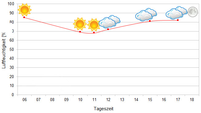
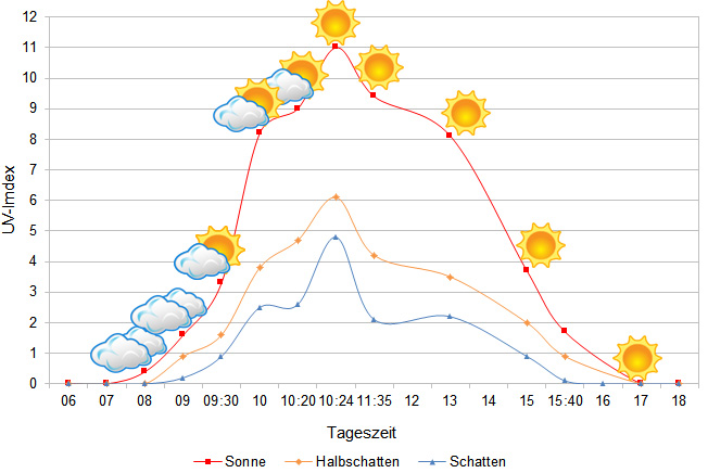
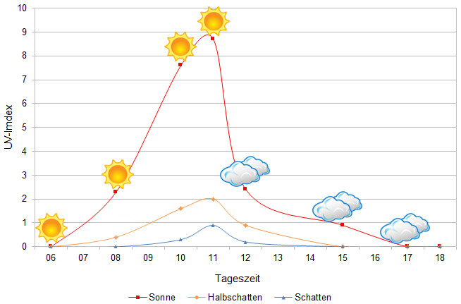
We have measured UVB data with a Solarmeter 6.5 in spring (end of April) at the peak of activity of chameleons in Madagascar. We always measured the values that a chameleon could maximally reach in its habitat.
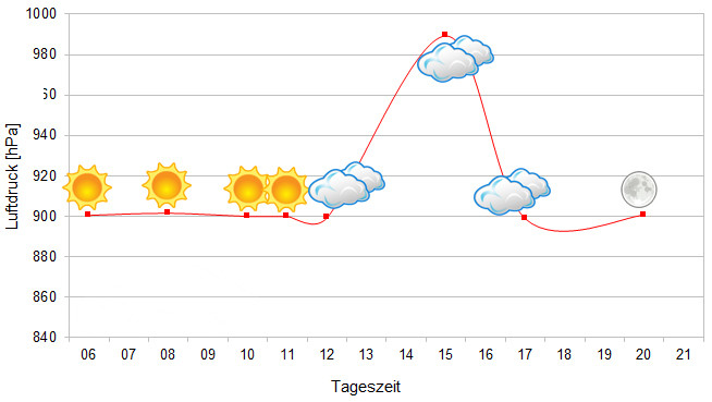
Since 2022, in addition to other climate data, we have also been measuring air pressure at the locations we visit in Madagascar. The following data is from a day during the rainy season. On the X-axis is the time of day or night. In Madagascar, the day begins around 6 am, and night falls as early as 6 pm. The Y-axis shows the atmospheric pressure in hPa.
Habitat:
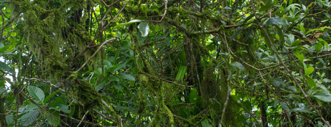
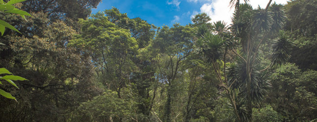
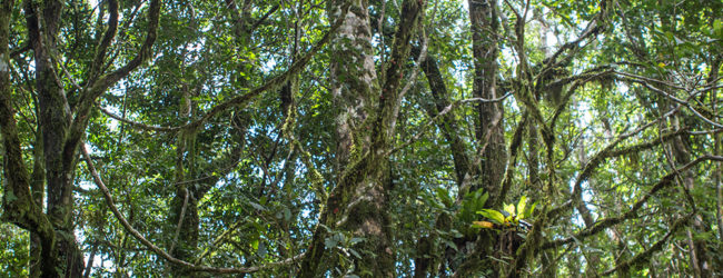
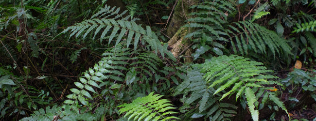
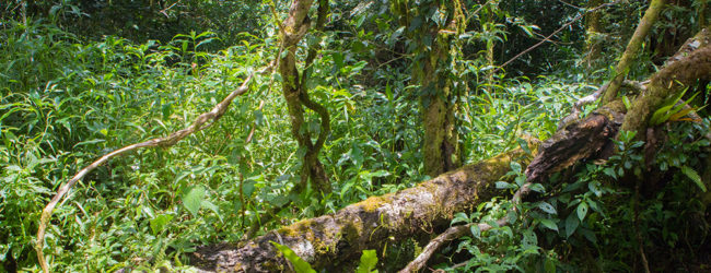
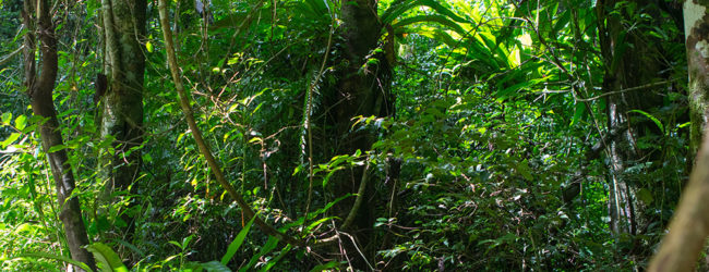
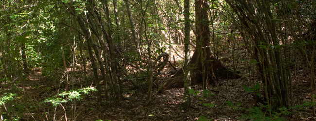
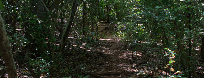
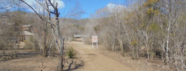
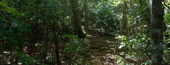
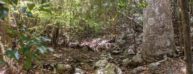
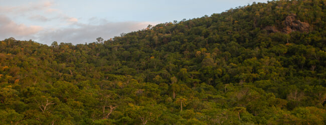
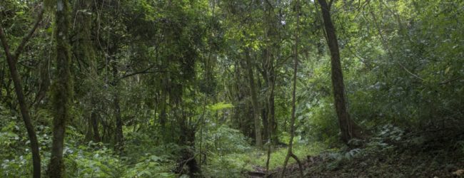
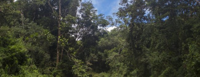
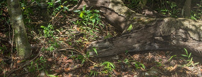
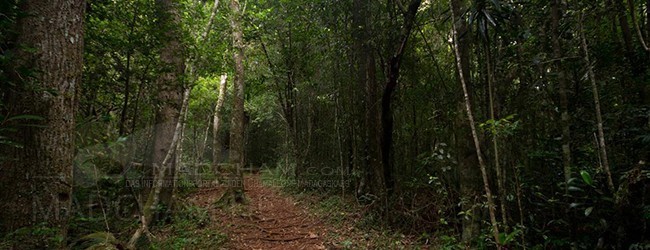
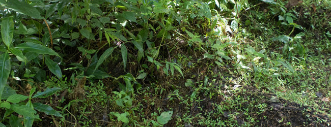
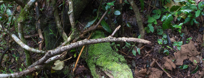
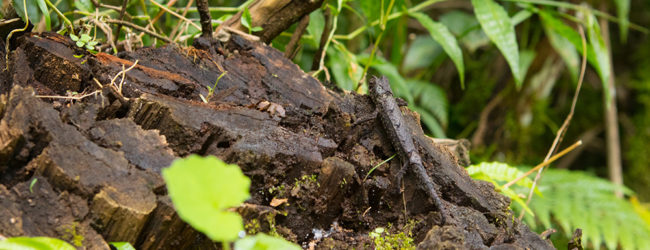
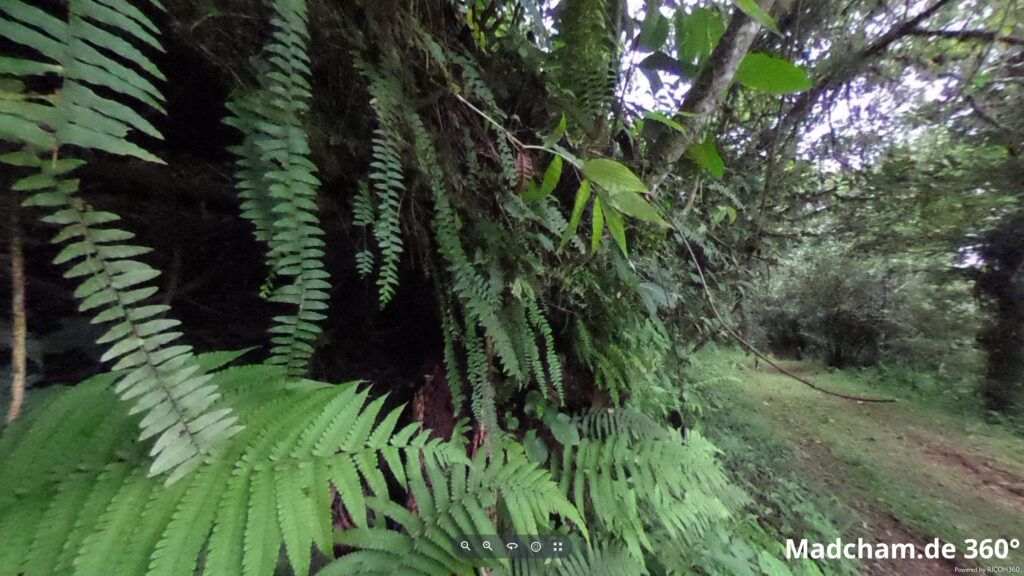
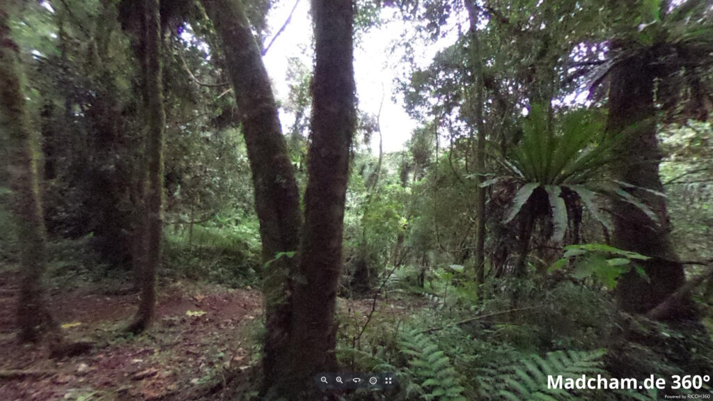
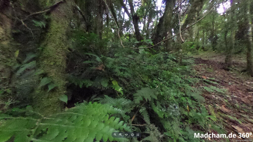
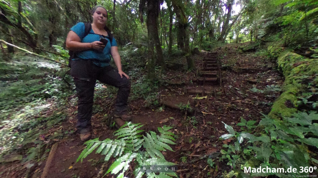
The following photos show more parts of the habitat of Brookesia ebenaui during the rainy season in the rain forest of Amber Mountain and in the dry forest of Loky Manambato. The Amber Mountain rainforest consists primarily of large, old trees with relatively dense understory on thick layers of foliage over the soil. The dry forest of Loky Manambato is quite the opposite: rather low, thin little trees, sparse undergrowth, and extremely rocky and lateritic soil. Brookesia ebenaui is the only known terrestrial chameleon that lives mainly on trees instead of the majority on the ground. Even during the day, the species is almost always found on plants up to two or three meters above the ground. Only at night, they move to narrow, lower branches to sleep.
Below you will find some 360° images from the rainforest of the Montagne d’Ambre and the dry forest of Loky Manambato, which we took during the rainy season. If you click on the respective image, the pictures will open in an enlarged view in a separate window. You can use the mouse to rotate in all directions. You also have the option of running the images in full-screen mode. Enjoy!

