Distribution of the local form Antsiranana:
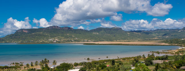
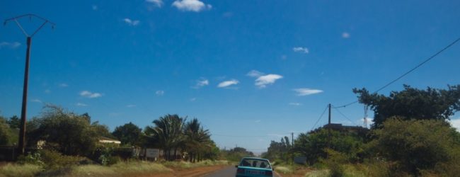
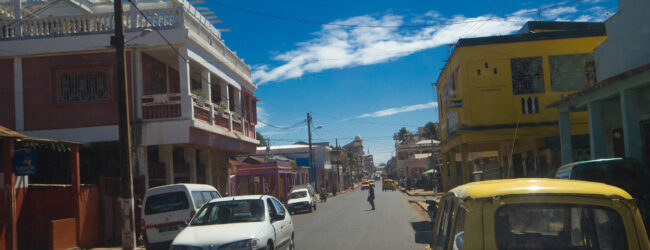
Antsiranana (French Diego Suarez) is located in north Madagascar on a large bay and is the capital of the eponymic region. With about 80.000 inhabitants and the second largest harbor of Madagascar, Antsiranana is a big city and still strongly influenced by the French colonial style. National road RN 6 leads directly to Antsiranana, but the city also has a working small airport. Antsiranana is located directly on an idyllic bay with an island called “Sugar Loaf” in the centre. The town is surrounded by over a dozen smaller and larger bays, which are of course mainly a destination for Malagasy and foreign holidaymakers – both sun worshippers and kitesurfers are well catered for here. There are no panther chameleons in the centre of Antsiranana, but you will find them in the outlying areas with secondary vegetation, dry forest, savannah-like areas and simple wooden huts, as well as around the town. To the north of Antsiranana is a peninsula connected by a narrow land bridge, which includes the dry forest of Babaomby and the neighbouring Emerald Sea.
Due to the lack of natural barriers, the distribution area of the Antsiranana local form extends southwards to Ambohitra (Joffreville), where the entrance to the Amber Mountain National Park, a mountain massif of volcanic origin, lies at an altitude of around 850 metres. Both the limestone massif of the Montagne de Français in the east of Antsiranana and the Orangea reserve behind it are still associated with this local form. Only the Analamerana reserve and the Tsingy rouge form a natural border for panther chameleons from the area around Antsiranana. In the west, salt flats separate the local form from the neighbouring local form Mangaoka. In the south-west, two larger rivers run west of Mangaoka and the Forêt d’Ambre conservation area. The panther chameleons of the local form Antsiranana are very well known and widespread in the herpetoculture hobby, as the region is easily accessible and the export of chameleons from there is simple to manage.
Appearance of the local form:
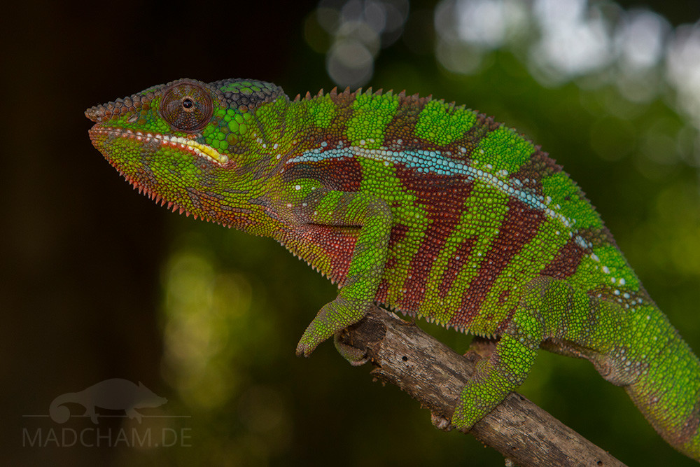
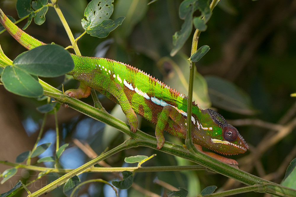
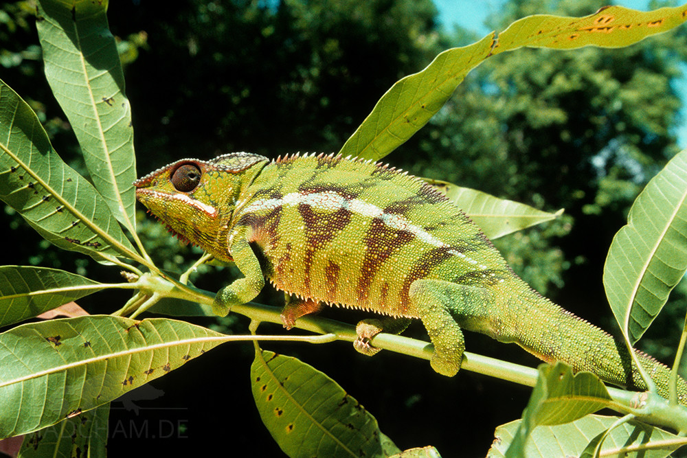
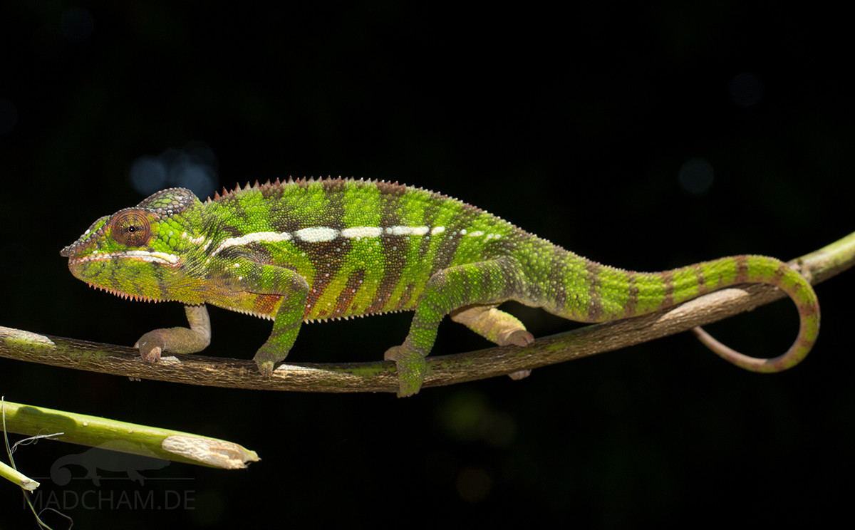
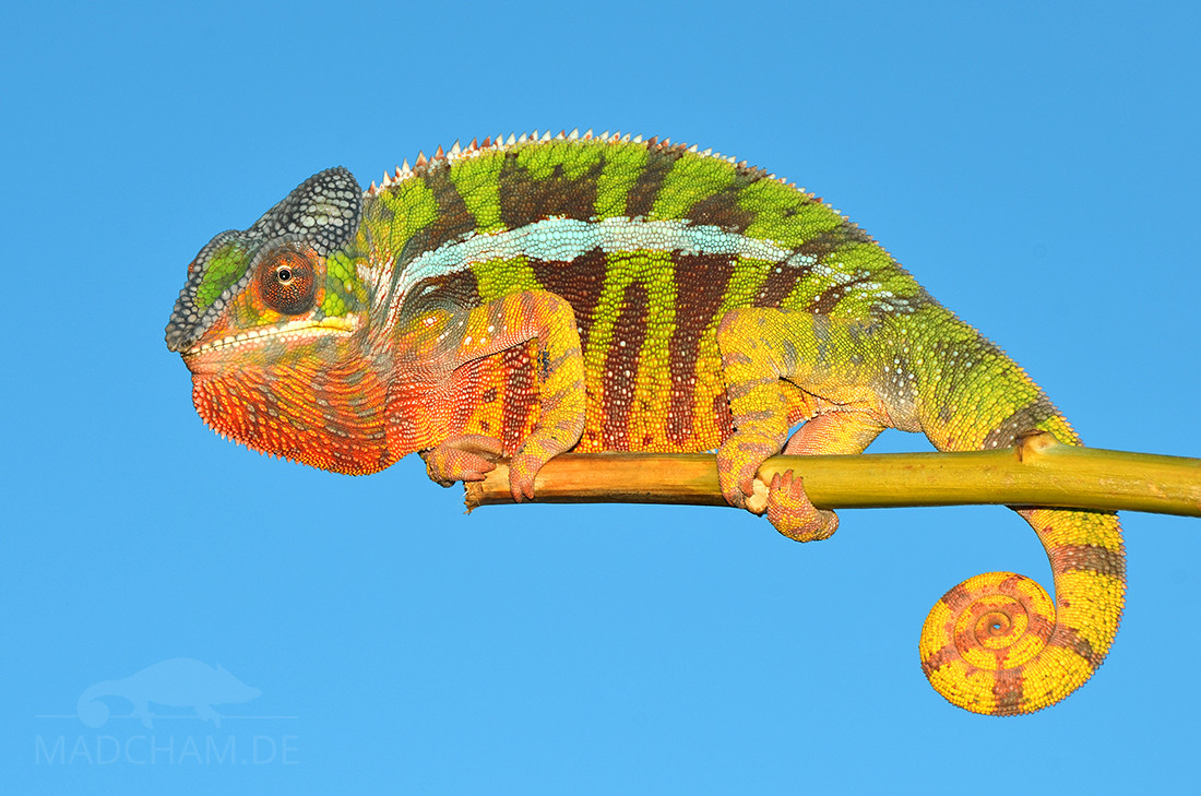
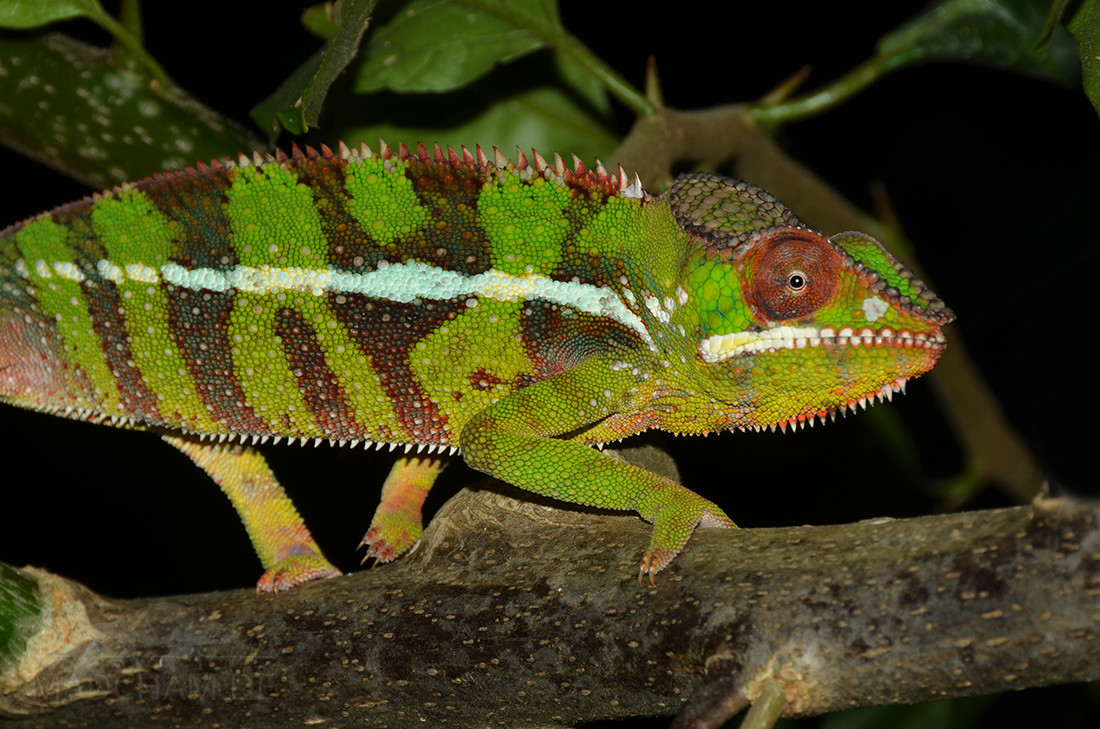
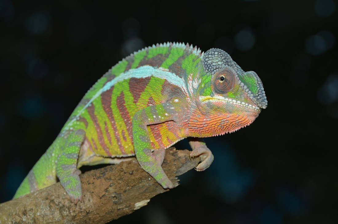
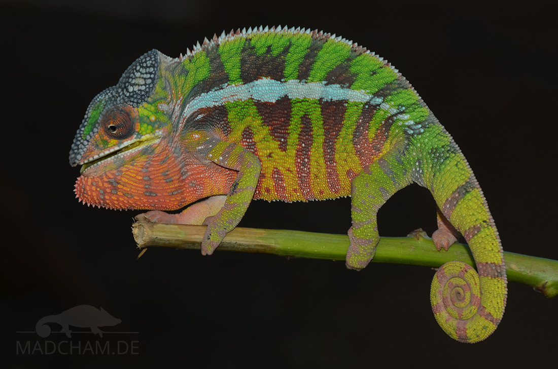
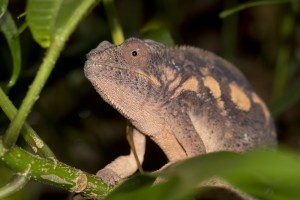
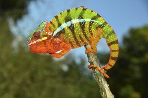
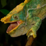
This local form has no high color fidelity and thus shows various colorations. The ground color is mostly yellow with greenish accents and wine red cross bands. Older specimen often have red to orange accents on throat and head.
Weight table
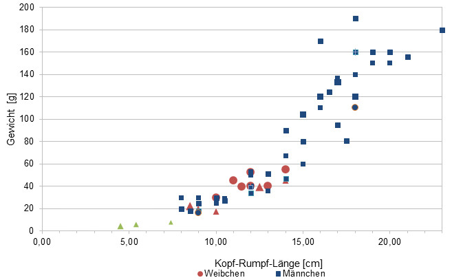
Since 2015, we measure the weights of most chameleons that we find in Madagascar, of course only if practicable with calm animals (and working scales). Over the long term, we want to get an average weight in proportion to the snout-vent-length (measured from the tip of the nose to the cloaca) from a large number of measurements for each Madagascan chameleon species. It is important to know that weights were all measured at the end of the rainy season when the chameleons have been having the highest food supply of the year. So our table may show the maximum weights of chameleons in Madagascar. Triangular symbols in females mean not pregnant, spherical symbols mean pregnant. Despite our earlier assumptions, it has turned out that in Furcifer pardalis, there seem to be no significant differences in SVL-weight-ratio between the different local forms.
| Jan | Feb | Mar | Apr | May | Jun | Jul | Aug | Sep | Oct | Nov | Dec | |
| Average temperature | 27 | 27 | 27 | 27 | 26 | 25 | 24 | 24 | 25 | 26 | 27 | 27 |
| Minimum temperature | 23 | 23 | 23 | 23 | 22 | 21 | 20 | 19 | 20 | 21 | 22 | 23 |
| Maximum temperature | 30 | 30 | 30 | 31 | 30 | 29 | 29 | 29 | 30 | 30 | 31 | 31 |
| Rain days | 24 | 23 | 18 | 9 | 6 | 5 | 7 | 7 | 4 | 6 | 9 | 16 |
We have collected the data given above over several years with thermometers and hygrometers at the finding places of the chameleons. "Average temperature" means that values of a whole month have been calculated to one average value per month. For example all measured minimum temperature values of February have been calculated to one average minimum temperature for February. In plain language, this means single peak values of a day may be a little higher or lower than the average minimum and maximum temperatures. It is possible that a location has an average maximum temperature of 29°C, but one day during that month it had 33°C or even 35°C there.
Several examples of the daily temperature curves in Antsiranana during the rainy season can be found below, which were recorded with data loggers in 2024.
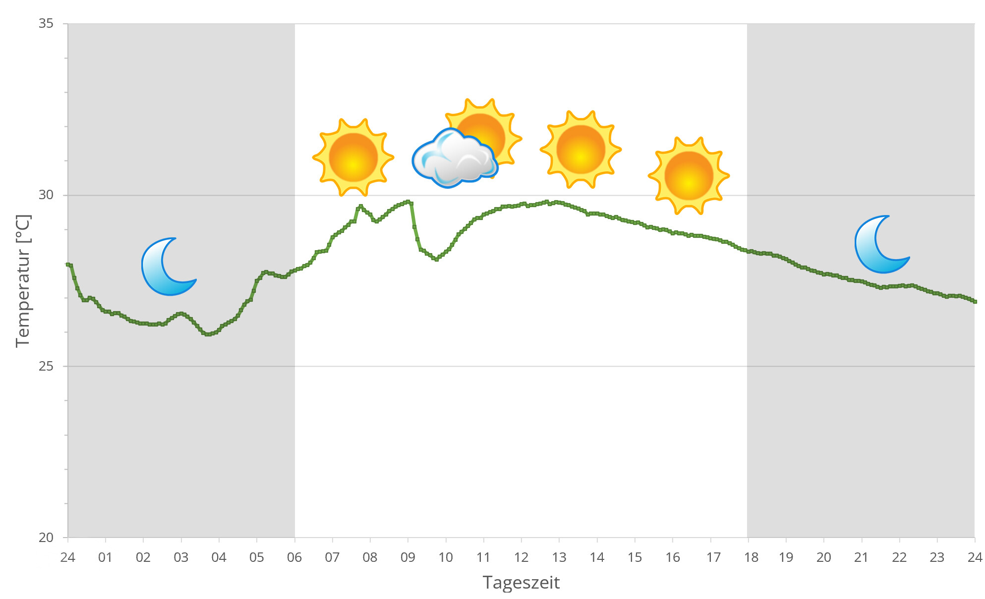
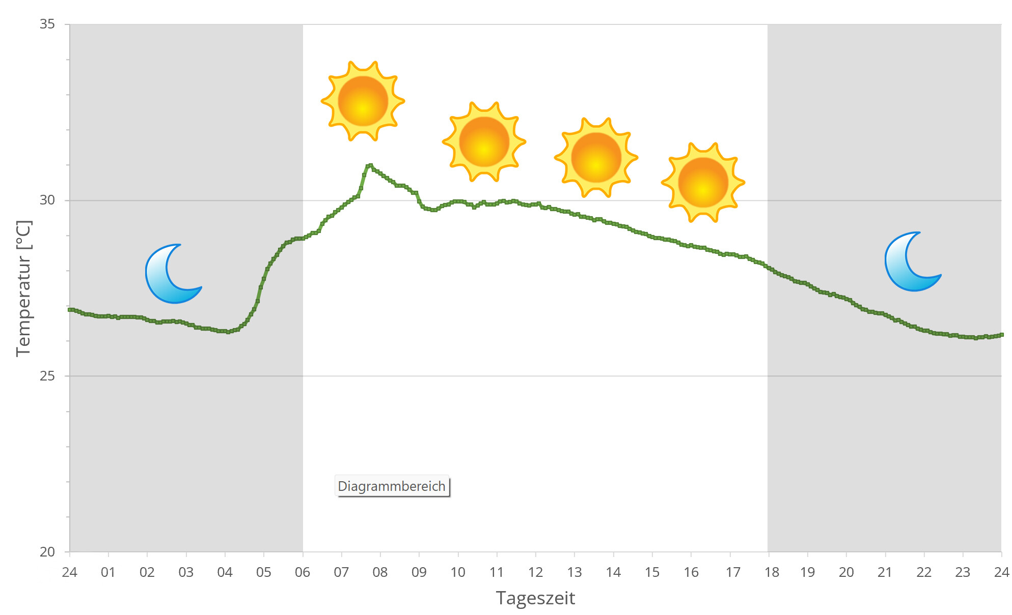
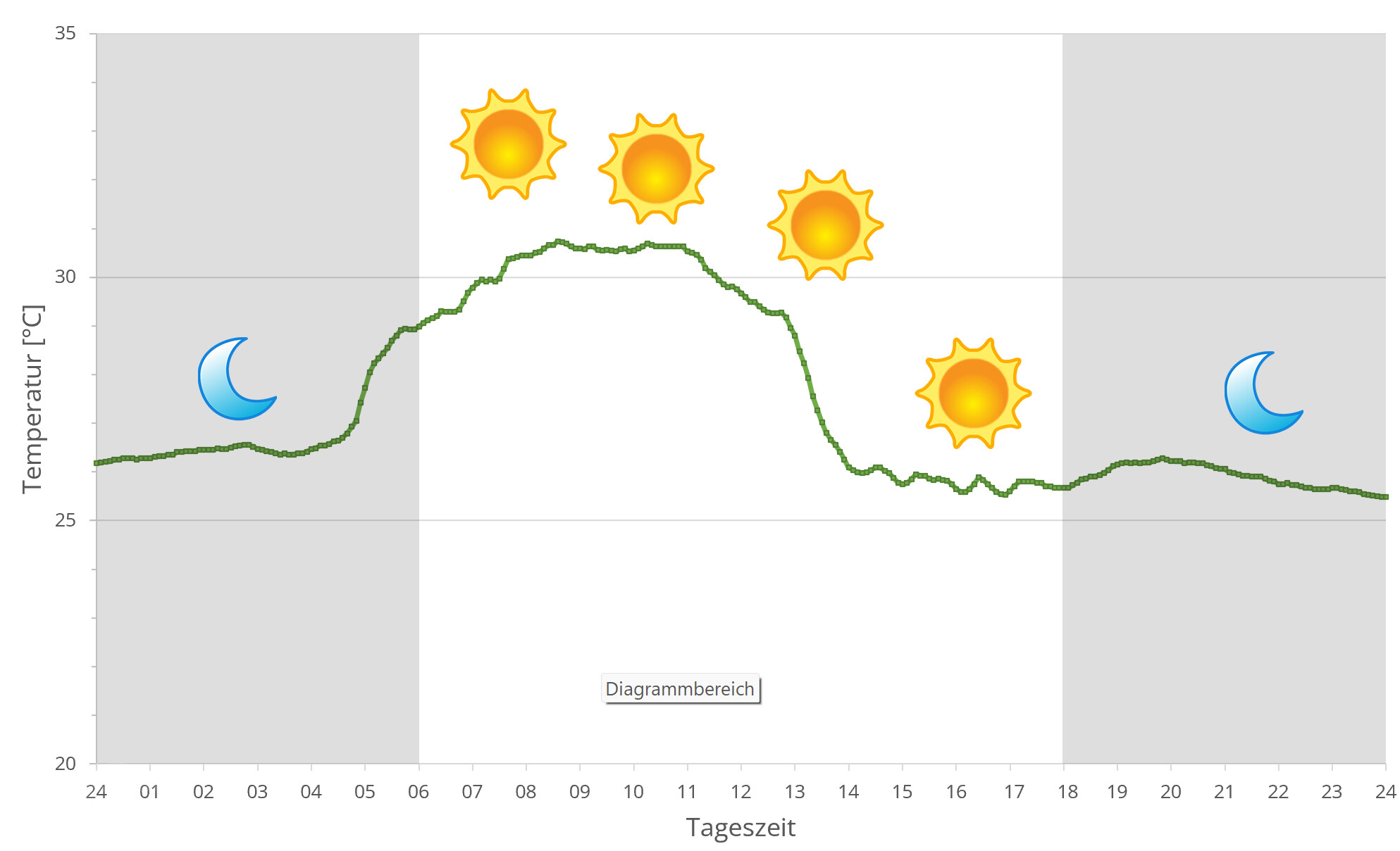
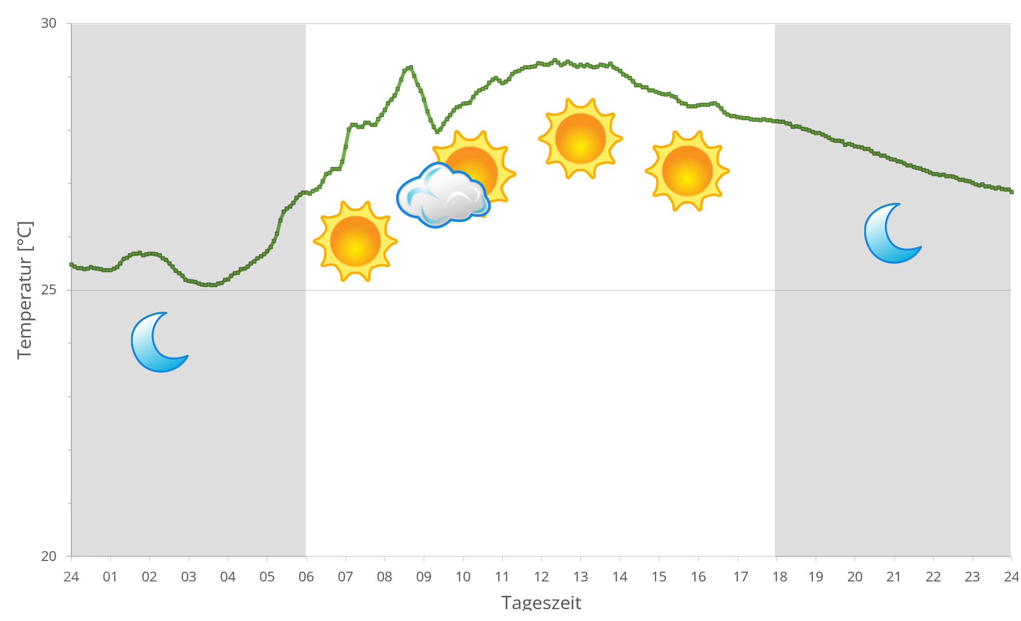
In Antsiranana, climate differs considerably between dry and rainy season. Generally, it is very warm throughout the year in Madagascar's northernmost region, with day temperatures around 25°C and higher. In sunny places, it is almost always warmer than 30°C.
During rainy season, humidity raises due to almost daily intensive rain. December to February is cyclone season which may bring heavy storms and rainfalls into the region. From April to October, it is dry season in Antsiranana. There is only few precipitation, and the savanna like areas around the city dry up partially. But the region does not stay completely without rain even during dry season, so most trees remain green and in leaf. Sometimes, temperatures in the night in dry season may drop down to 20°C.
In 2024, we used data loggers to measure the relative humidity on several days in Antsiranana during the rainy season, the data can be found below.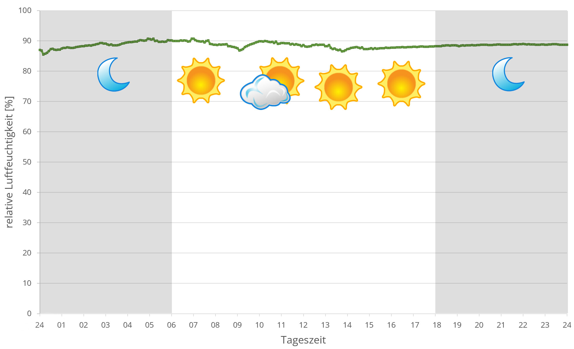
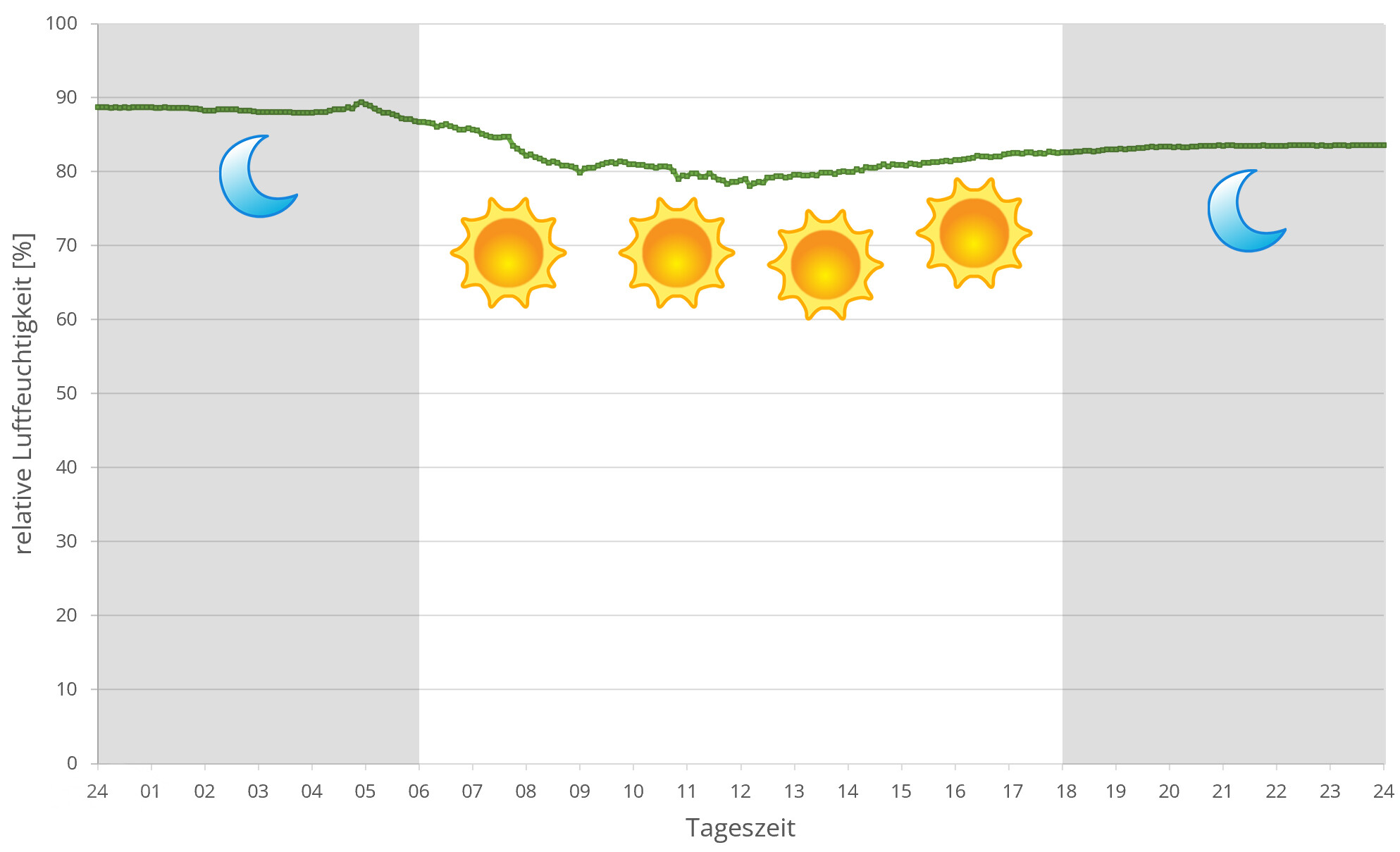
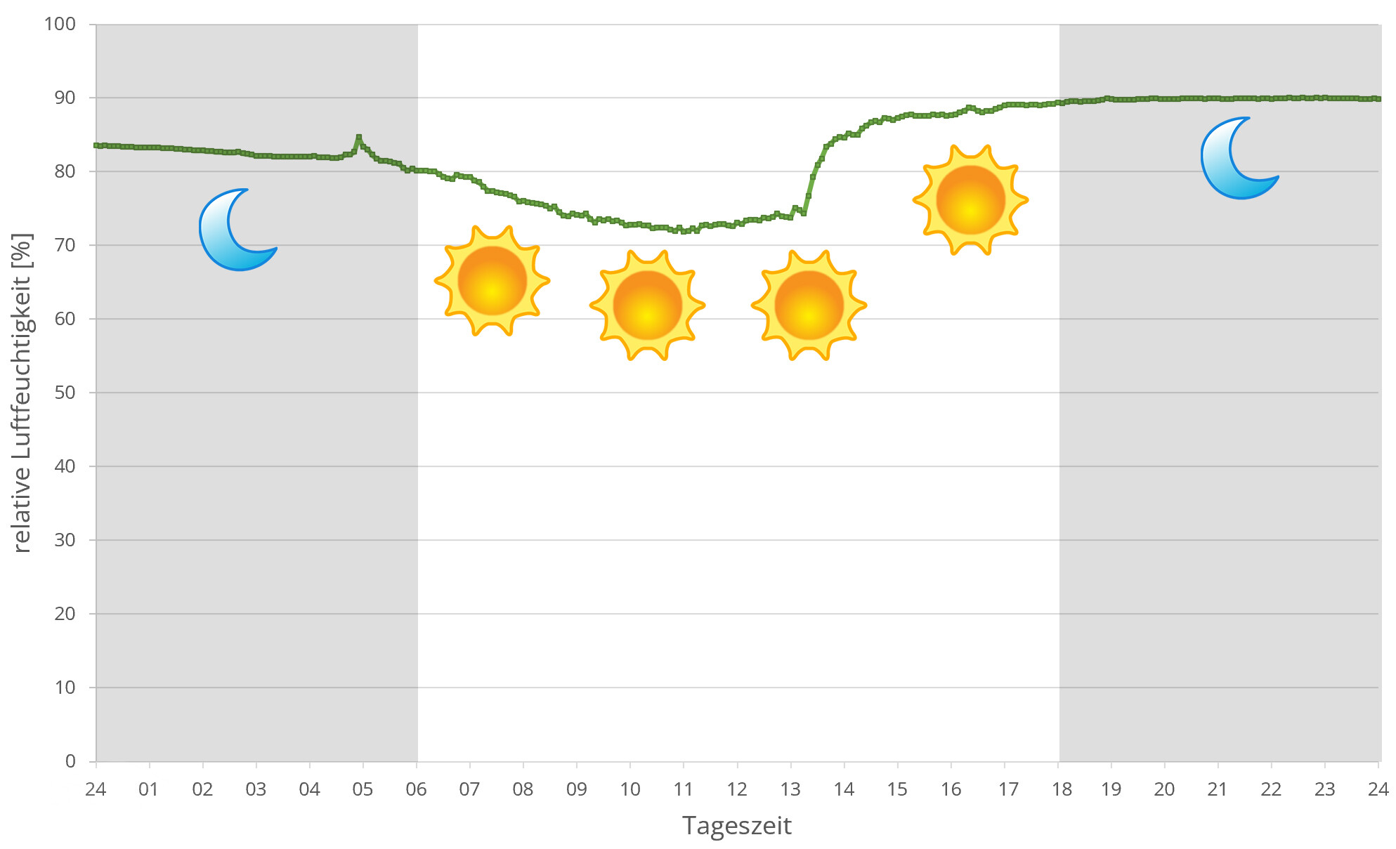
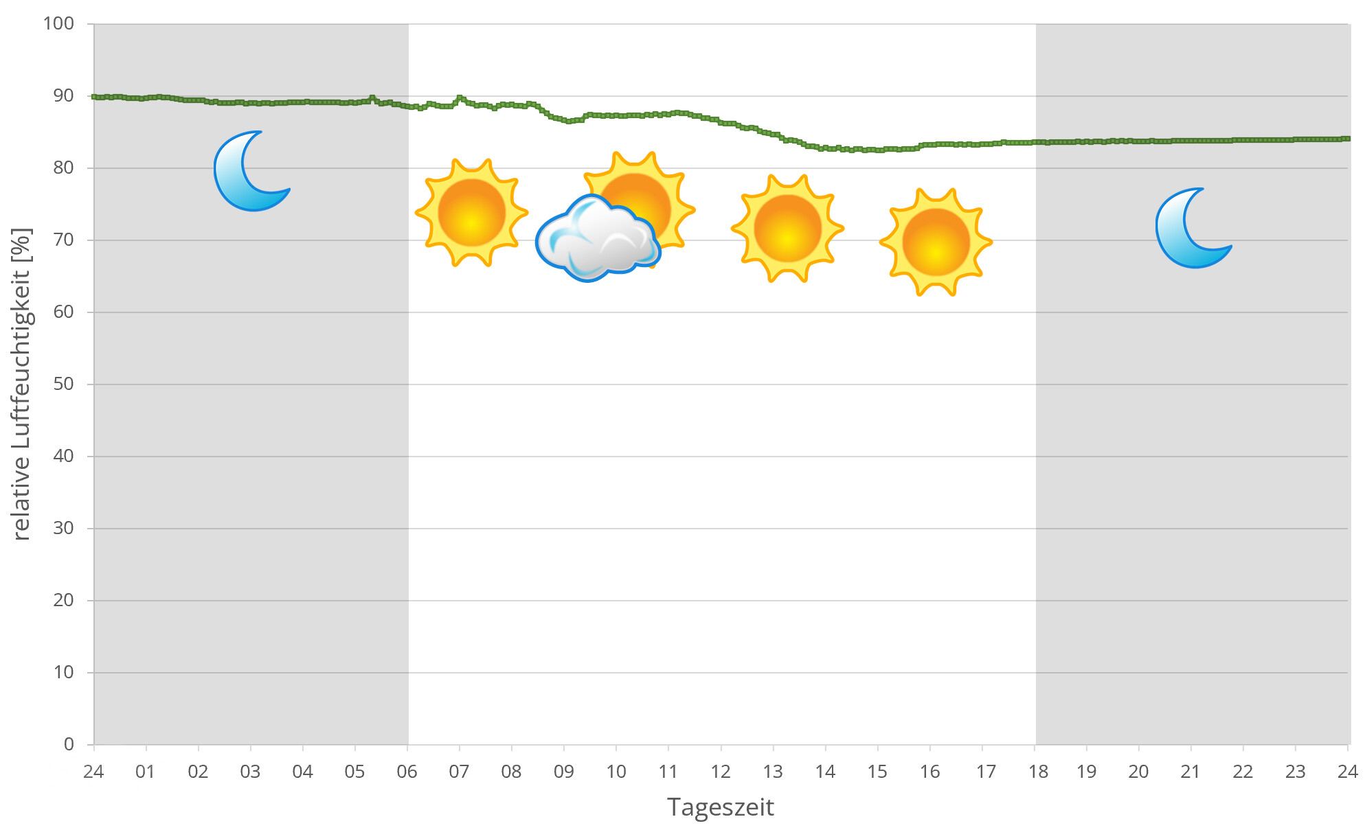
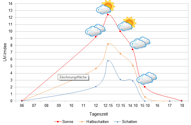 Tageszeit = day time, Sonne = sun, Halbschatten = half shade, Schatten = shade
We have measured UVB data with a Solarmeter 6.5 in spring (end of March) at the peak of activity of chameleons in Madagascar. We always measured the values that a chameleon could maximally reach in its habitat.
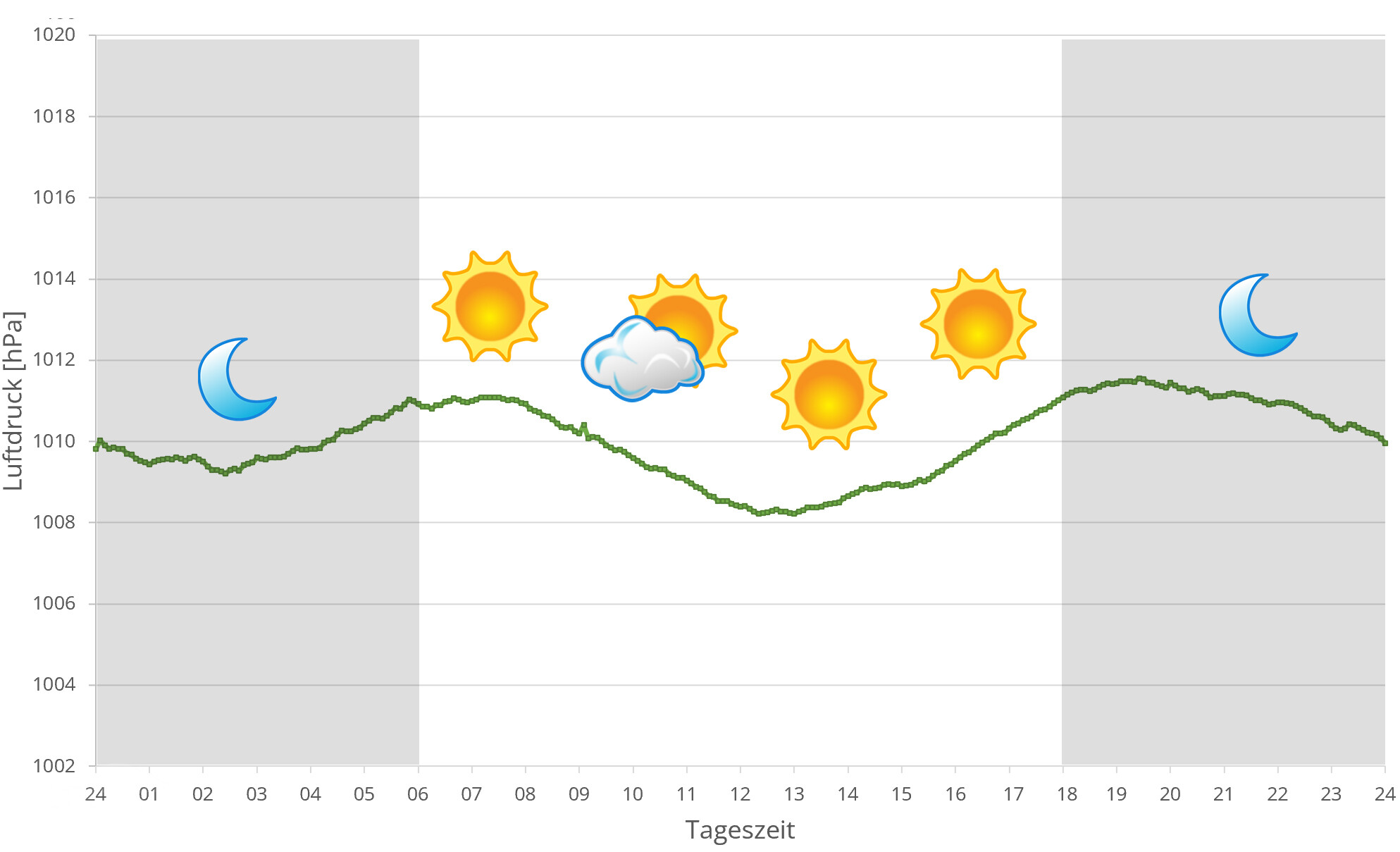
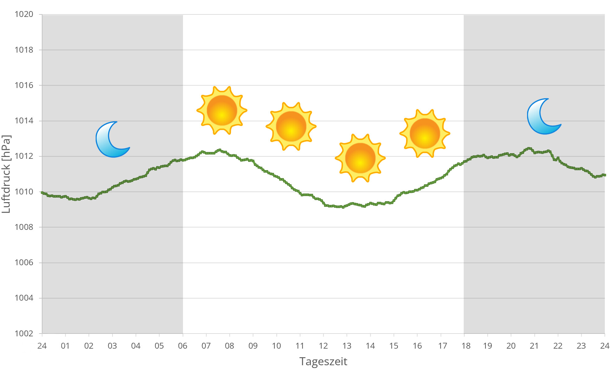
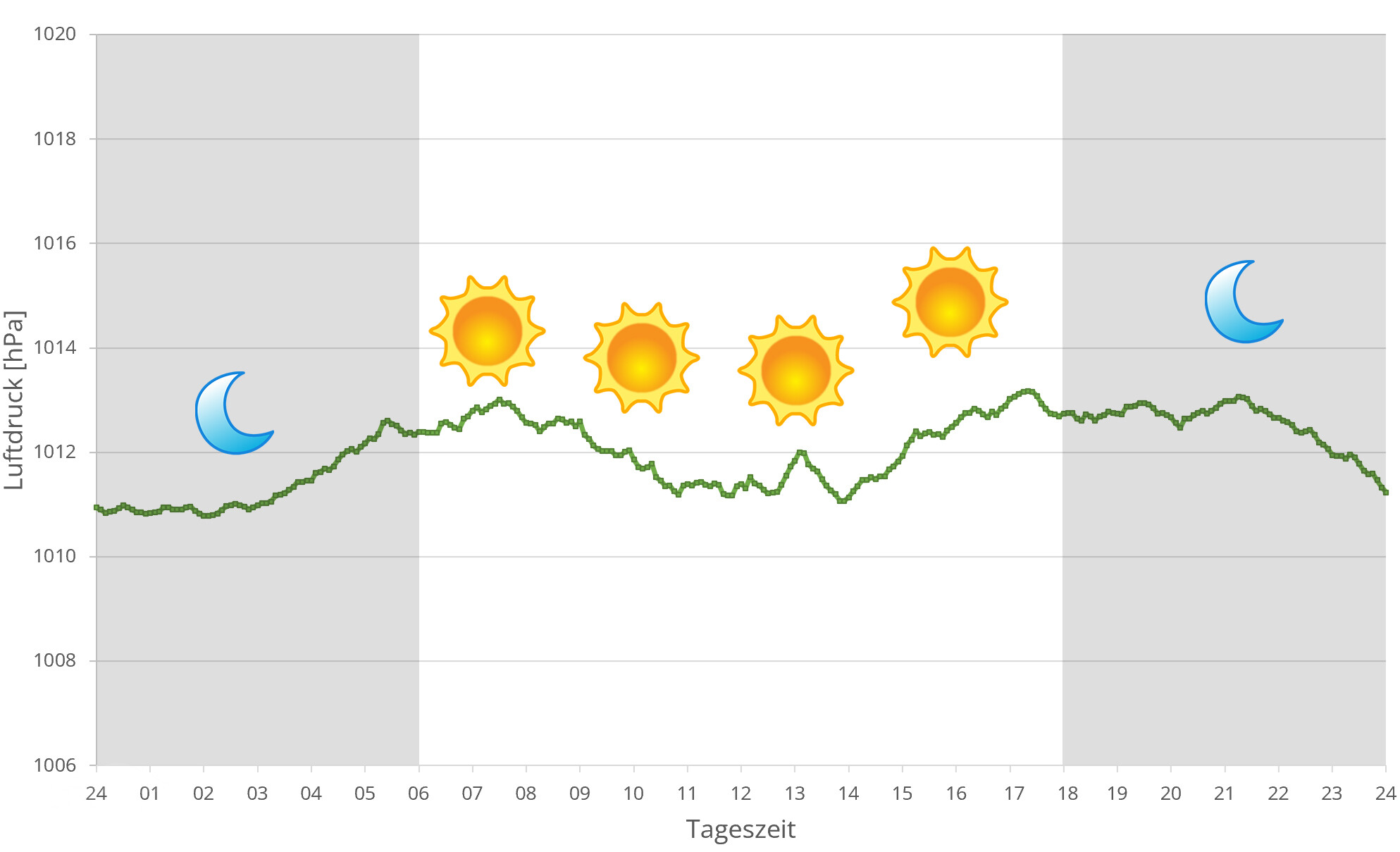
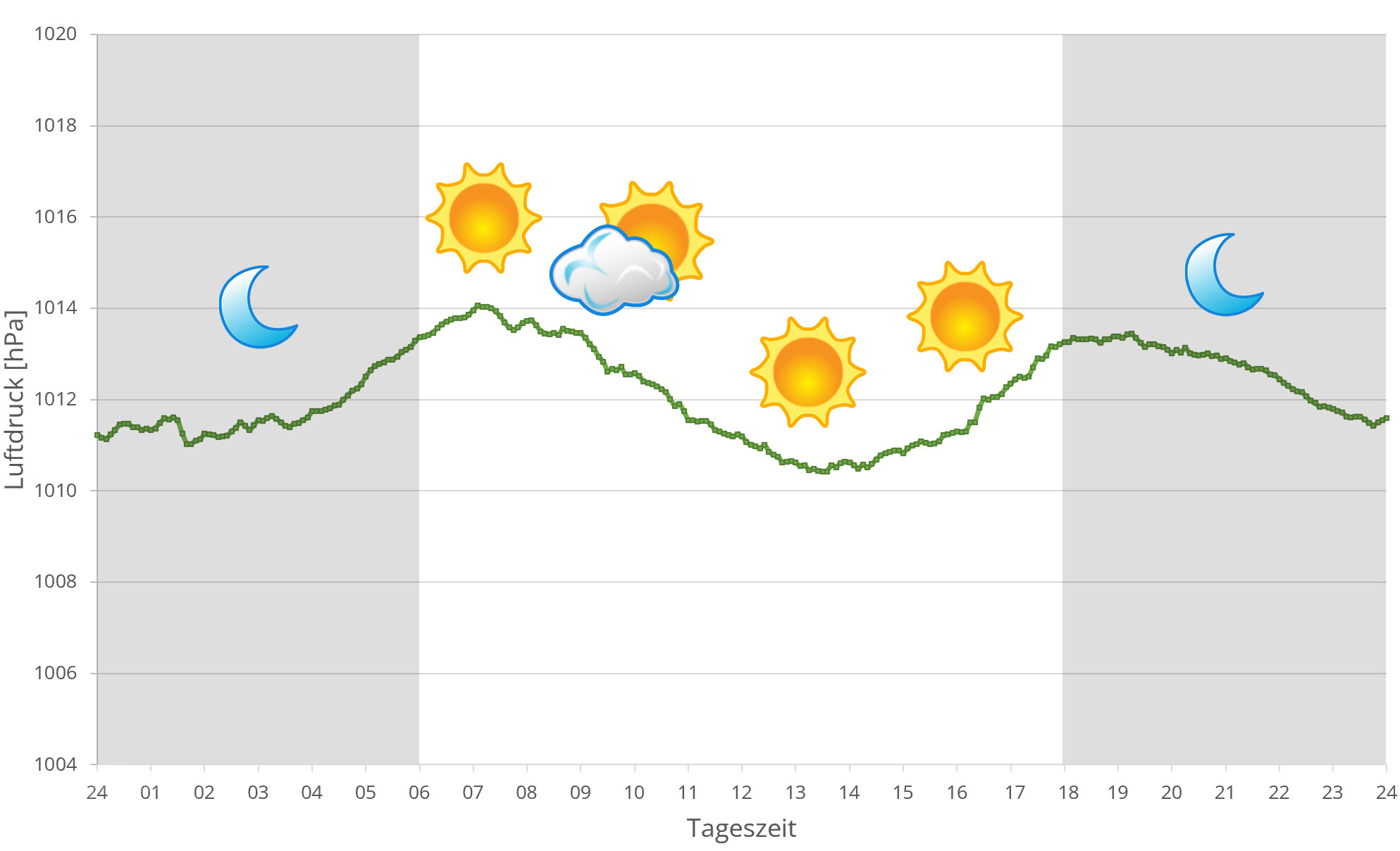
In 2024, in addition to other climate data, we also measured the air pressure at the locations we visited in Madagascar. The following data is from days during the rainy season in Antsiranana. The X-axis shows the time of day or night. In Madagascar, day begins at around 6 a.m., night falls as early as 6 p.m. The Y-axis shows the atmospheric air pressure in hPa.
Habitat:
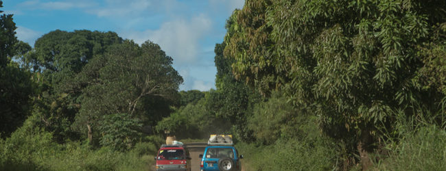
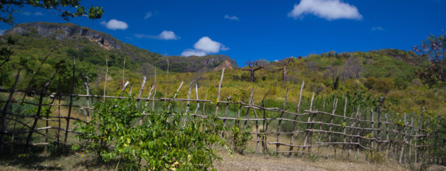
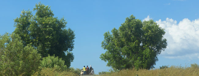
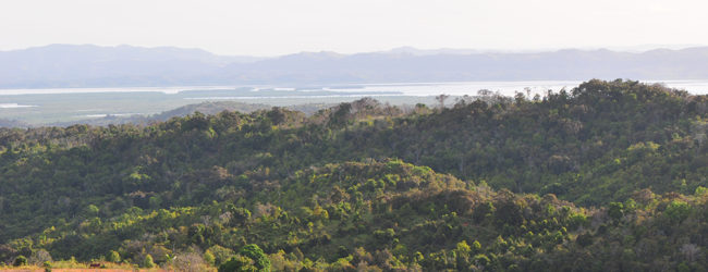
The habitat around the region of Diego Suarez is very diverse. You cannot find panther chameleons in the savannas, but everywhere in open landscapes with bushes, some trees, and palms. Even inside hotel ground along the coast, we’ve seen Furcifer pardalis. In the direction of Amber Mountain, the habitat changes and the climate becomes cooler. Vegetation is lusher and greener. The ground close to the coast is sandy, in direction of Amber Mountain it’s more earth.

